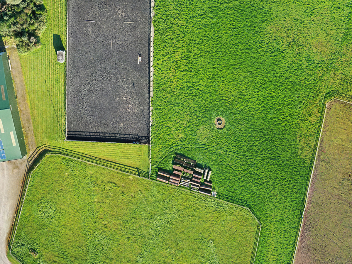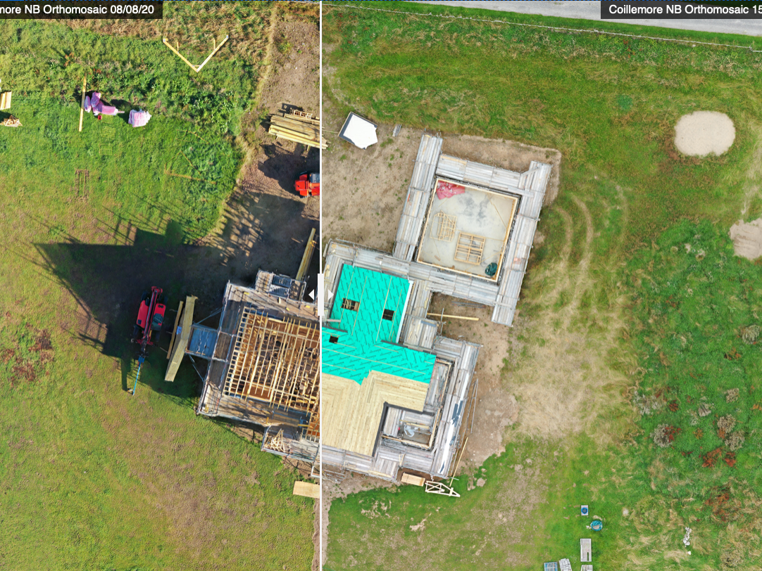
A flat print map of your construction site is one thing. However, with the latest 3D modelling technologies you can take it even further. Whether you’re looking to overlay current progress with blueprints initially provided at the start of your project, or you’re looking for volumetric measurements, aerial imaging and data capture can help you achieve your goals.
Seeing a project develop via 3D modelling can help provide investors with near real time information that demonstrates a site’s progress and current needs.
3D point clouds are generated from overlapped geo-referenced images giving you the accurate location in the object space.
The bottom line is simple. The more data captured in the field, the more realistic and usable the 3D models become. How accurate you'd like it to be, depends on your specific per project needs.
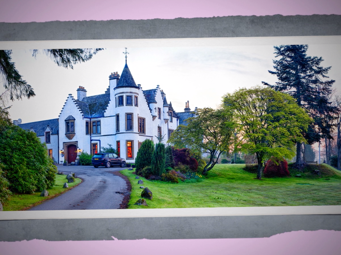
Redcastle - Low Resolution 3D model
Castle Craig - Low Resolution 3D model
Yankee Pier - Low Resolution 3D model
UASurvey Disclaimer:
While UASurvey is capable of aerial data collection, visitors should know that we do not interpret survey grade information. For projects where exact measurements count, you still need to rely on a licensed land surveyor or survey engineer. UASurvey can provide data in cooperation with your surveyor, but our data gathering does not replace the need for a licensed land surveyor. This is not exclusive to our business; all drone data collection services cannot interpret data unless they have a surveyor on staff. Additionally, we do not overlay property boundaries on home plots (developed or undeveloped) for sale for the same reasons noted above.